| WOOD RORY A JR & WF |
| WOOD MISTY M |
|
| PO BOX 84 |
|
| MAURY , NC 28554 |
|
| Property
Location Address |
|
| Parcel
ID No. |
38340 |
| PIN |
4558 00 12 1304 |
| |
|
| Owner ID |
500225 |
| |
Future Transfer |
| Tax
District |
130 - COUNTY/HUGO FIRE |
| |
| Land Use Code |
B |
| Land Use Desc |
AGR - IMP |
| |
|
| Neighborhood |
0071 |
|
| Legal
Desc |
TRACT 1 // T & D FARM |
| |
BROILER HOUSES BLT/2010 |
| |
|
| Deed
Year Bk/Pg |
2015 - 1762 / 195 |
| Plat
Bk/Pg |
12 / 125 |
| |
Sales
Information |
| |
| Grantor |
WOOD RORY A JR & WF |
| |
WOOD MISTY M |
| Sold
Date |
2021-12-07 |
| Sold
Amount $ |
700,000 |
|
| |
| Market Value $ |
1,261,257
|
| |
|
Market
Value - Land and all permanent improvements,
if any, effective January 1, 2017, date
of County’s most recent General Reappraisal
|
|
| |
|
| Assessed Value $ |
1,120,486
|
| |
If
Assessed Value not equal Market Value then
subject parcel designated as a special
class -agricultural, horticultural, or
forestland and thereby eligible for taxation
on basis of Present-Use.
|
|
|
| Year
Built |
2011 |
| Built
Use/Style |
|
| Grade |
C / |
| * Percent
Complete |
100 |
| Heated
Area (S/F) |
1,632 |
| Fireplace
(Y/N) |
N |
| Basement
(Y/N) |
N |
| ** Bedroom(s) |
3 |
| ** Bathroom(s) |
2 Full Bath(s) 0 Half Bath(s) |
| *** Multiple
Improvements |
002 |
*
Note - As of January 1
*
* Note - Bathroom(s), Bedroom(s), shown for description
only
* * * Note - If multiple improvements equal “MLT” then
parcel includes additional major improvements |
|
| Building
Sketch - NOTE: Sketches are updated the first day of every month. |
|
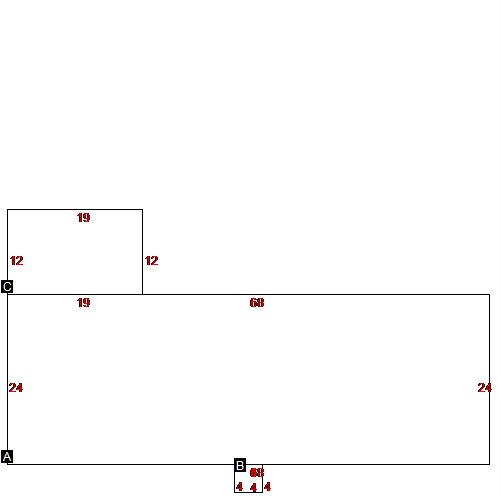
(Building 1) - Sketch for Parcel ID: 38340
 |
| Label |
Description |
Base SF |
Total SF |
| A |
MOBILE HOME |
1632.00 |
1632.00 |
| B |
WOOD DECK |
16.00 |
16.00 |
| C |
PORCH |
228.00 |
228.00 |
|
|
(Building 2) - Sketch for Parcel ID: 38340
 |
| Label |
Description |
Base SF |
Total SF |
| A |
MOBILE HOME |
1632.00 |
1632.00 |
| B |
WOOD DECK |
16.00 |
16.00 |
| C |
PORCH |
228.00 |
228.00 |
|
|
|
|
|
| Map Acres |
162.52 |
| Tax District Note |
130 - COUNTY/HUGO FIRE |
| Present-Use Info |
AGR - IMP |
| Zoning Code |
|
| Zoning Desc |
|
|
| Total Improvements Valuation
|
*Total Improvements Full Market Value $
|
**Total Improvements Assessed Value
|
1,049,377
|
1,049,377
|
*
Note - Market Value effective Date equal January
1, 2017, date of County’s most recent General
Reappraisal
** Note - If Assessed Value not equal Market Value then variance
resulting from formal appeal procedure |
|
| Land
Value Detail (Effective Date January 1, 2017, date
of County’s most recent General Reappraisal) |
Land
Full Value (LFV) $
|
Land
Present-Use Value (PUV) $ **
|
Land
Total Assessed Value $
|
211,880
|
71,109
|
71,109
|
| **
Note: If PUV equal LMV then parcel has
not qualified for present use program |
|
| Land
Detail (Effective Date January 1,
2017, date of County’s
most recent General Reappraisal) |
Rate Type |
Rate Code |
Description |
Quantity |
|
|
|
|
